DSI and Department of Water Resources signs MOU on Unmanned Aerial Vehicle cooperation to support topographic exploration and information exchange
published: 1/28/2022 11:55:50 AM updated: 3/25/2022 3:41:38 PM 1996 views


DSI and Department of Water Resources signs MOU on Unmanned Aerial Vehicle cooperation to support topographic exploration and information exchange
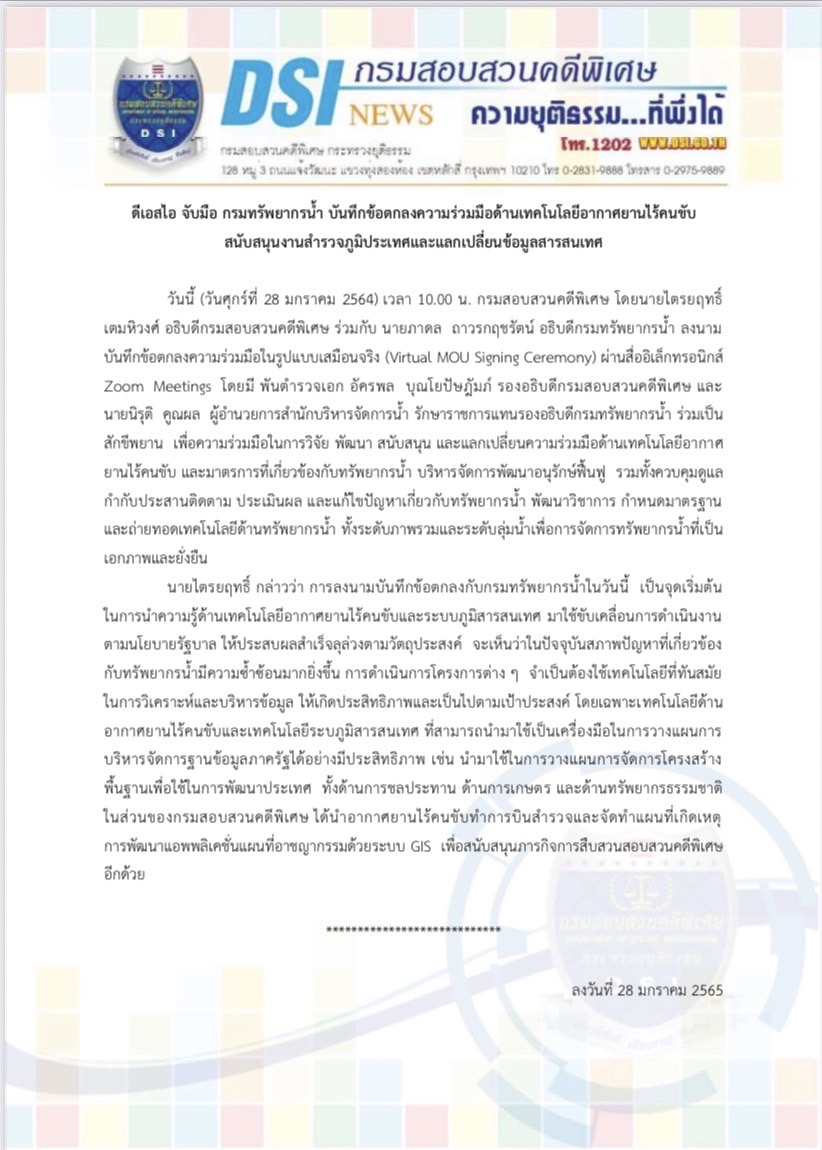
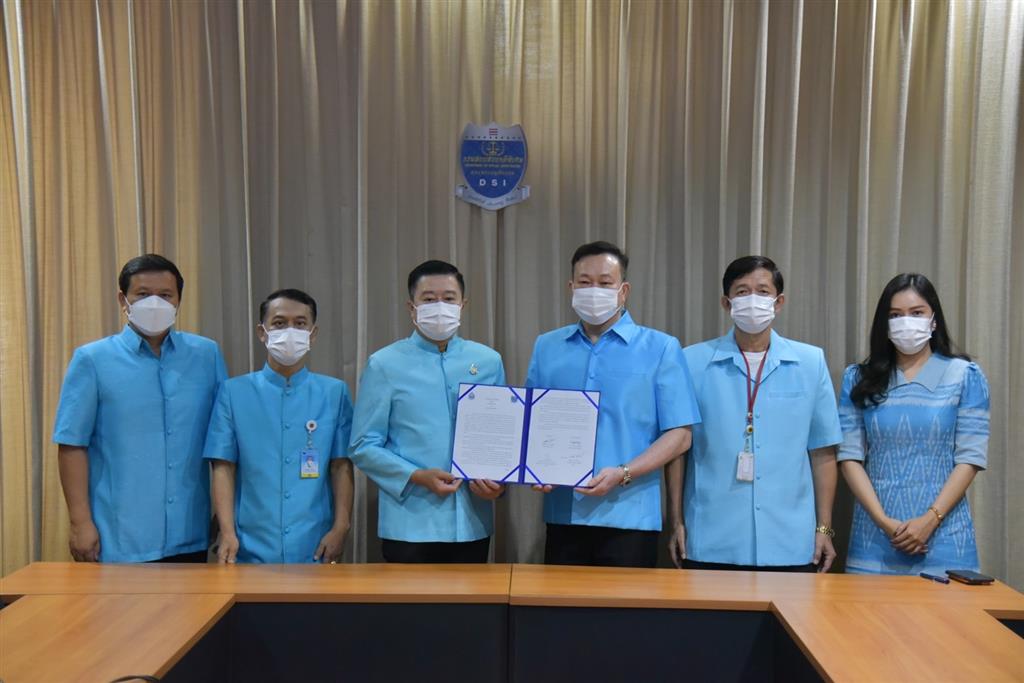
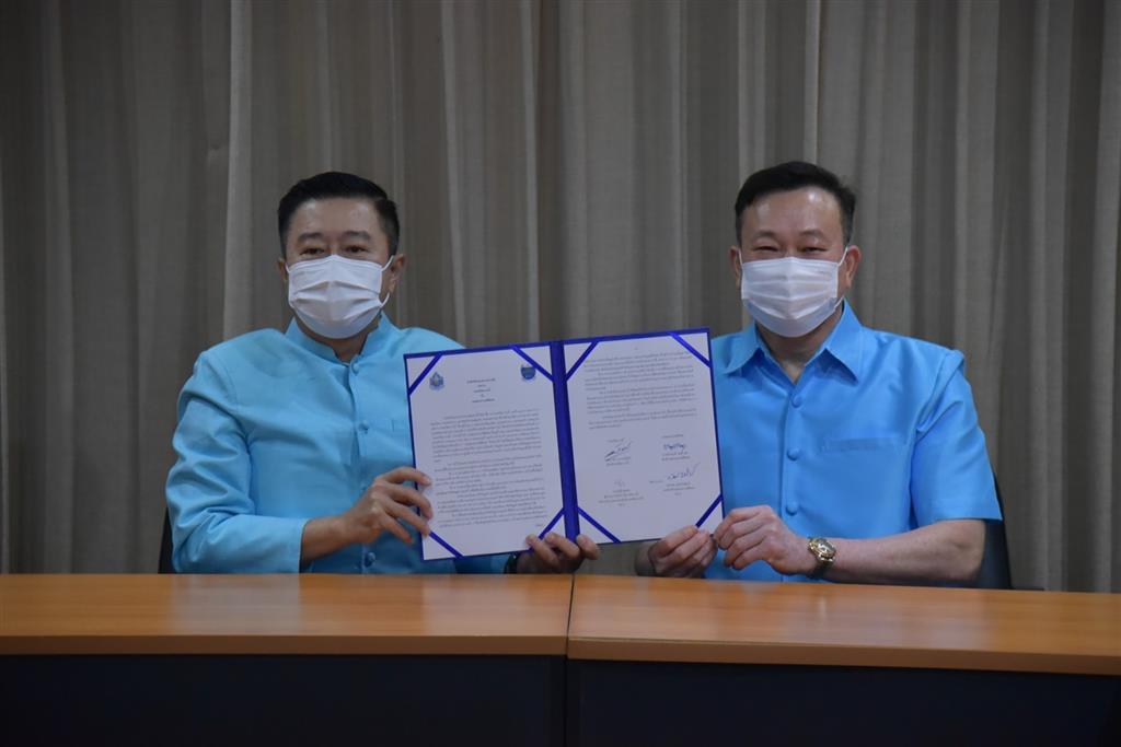
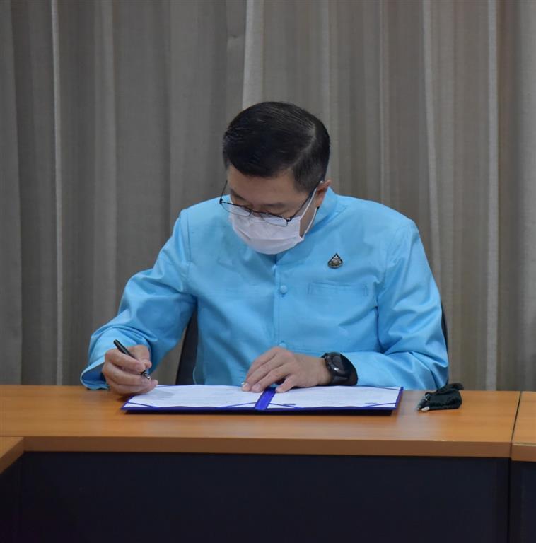
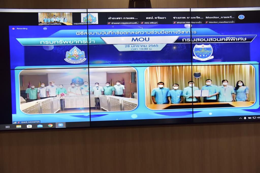
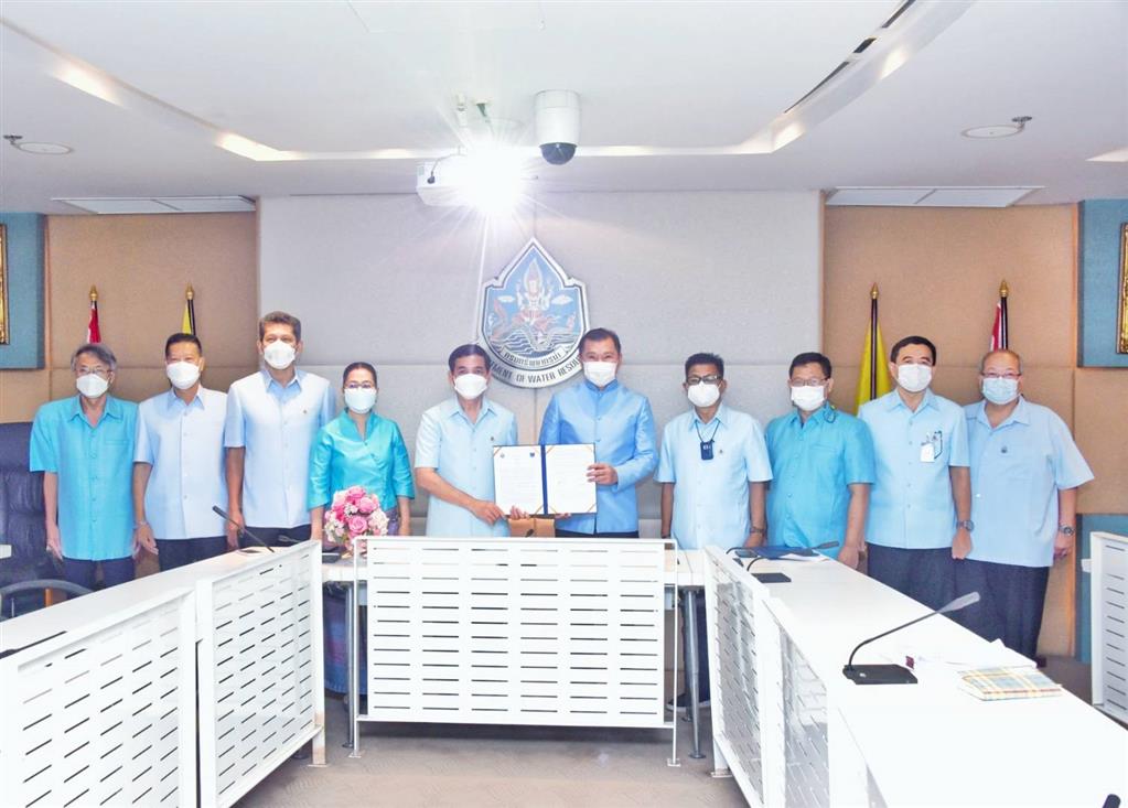
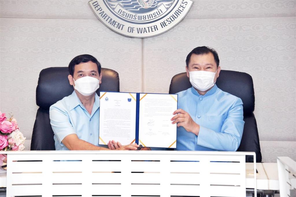
Today (January 28, 2021), 10.00 a.m. at the DSI, Mr. Triyarith Temahivong (the Director-General of the DSI) and Mr. Bhadol Thavornkitcharat (the Director-General of the Department of Water Resources (DWR)) attended the virtual signing ceremory via Zoom Meetings application to sign a Memorandum of Understanding between the DSI and the DWR, witnessed by Pol.Col. Akarapol Punyopashtambha (DSI Deputy Director-General) and Mr. Nirut Koonphol (DWR Acting Deputy Director-General), for cooperation on research, development, support, and exchange of unmanned aerial vehicles, and measures relating to the management, development, conservation, and restoration of water resources, including the supervision, coordination, monitoring, evaluation of, and solutions to the water resources problem, the development of academic, standardization, and transfer of technology for water resources both at the overall and watershed levels for unity and sustainability of water resources management.
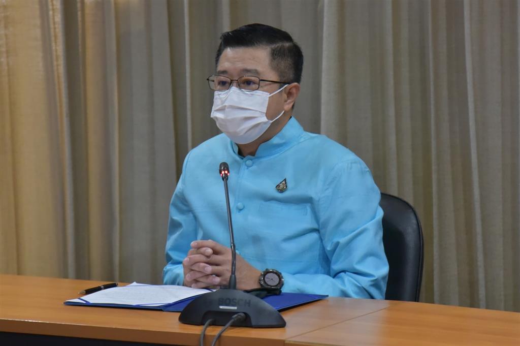
According to Mr. Triyarith Temahivong, the today’s MOU signing with the DWR is the beginning of utilizing the knowledge of the unmanned aerial vehicle and Geomatics to drive the implementations in accordance with the government policies for success as aimed. Due to the great complexity of the problems related to water resources at present, it is essential to use modern advanced technologies for efficient information/data analysis and administration and in line with the purposes of all projects. The unmanned aerial vehicle and Geomatics technologies in particular can be used as the instruments for efficient administrative planning of the government sector’s databases. For example, the use of the said technology in planning and managing infrastructures for the country development; irrigation, agriculture, and natural resources. For the DSI, it has used both the unmanned aerial vehicle for survey and making crime scene maps, and the GIS system for the development of applications of crime maps that assist its missions of special case investigation and inquiry.
Dated January 28, 2022