DSI Director-General met with the Director-General of the Land Department for land database system link and AI development to increase efficiency in protecting Thai forests
published: 10/26/2021 10:07:48 AM updated: 1/21/2022 4:00:33 PM 2738 views


DSI Director-General met with the Director-General of the Land Department for land database system link and AI development to increase efficiency in protecting Thai forests
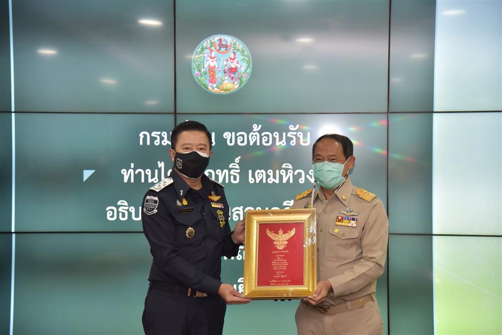
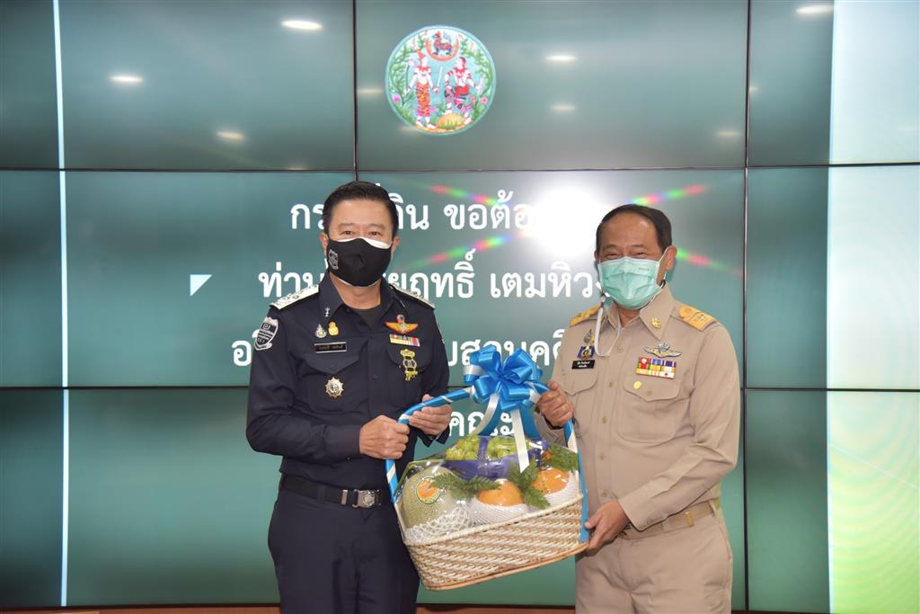
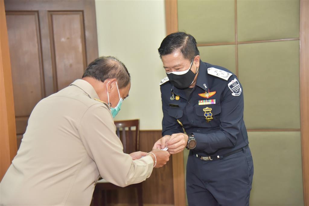
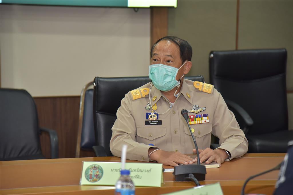
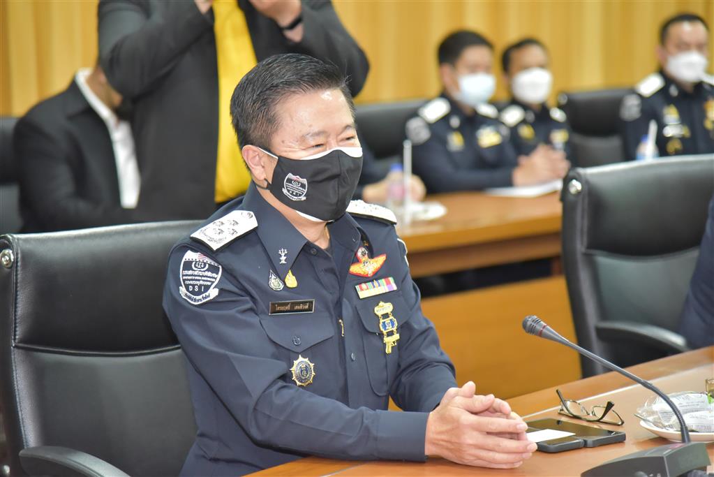
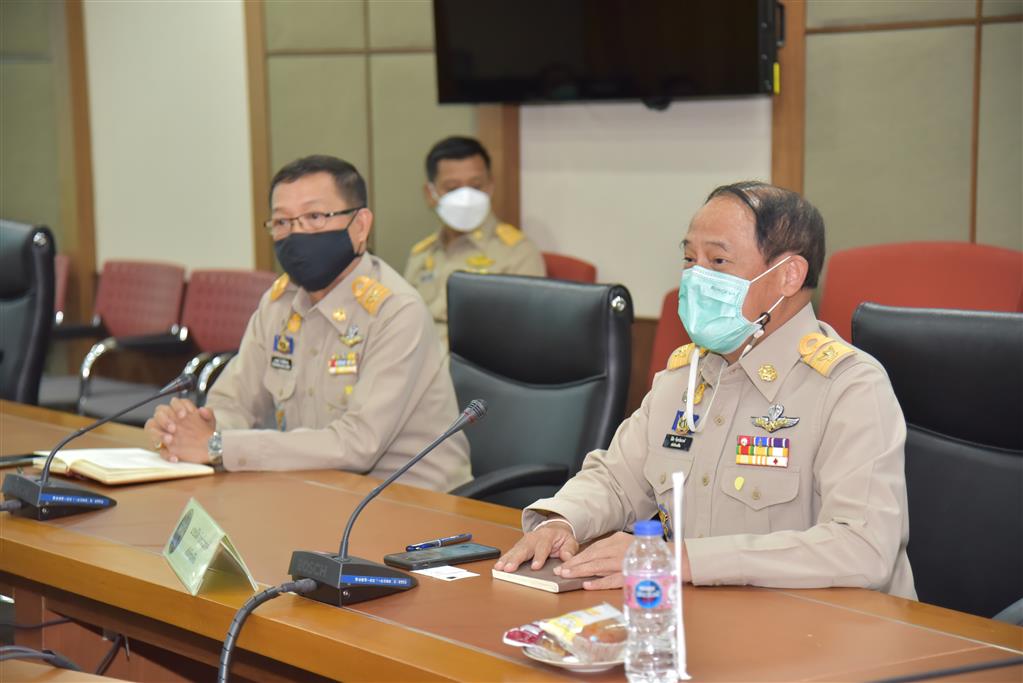
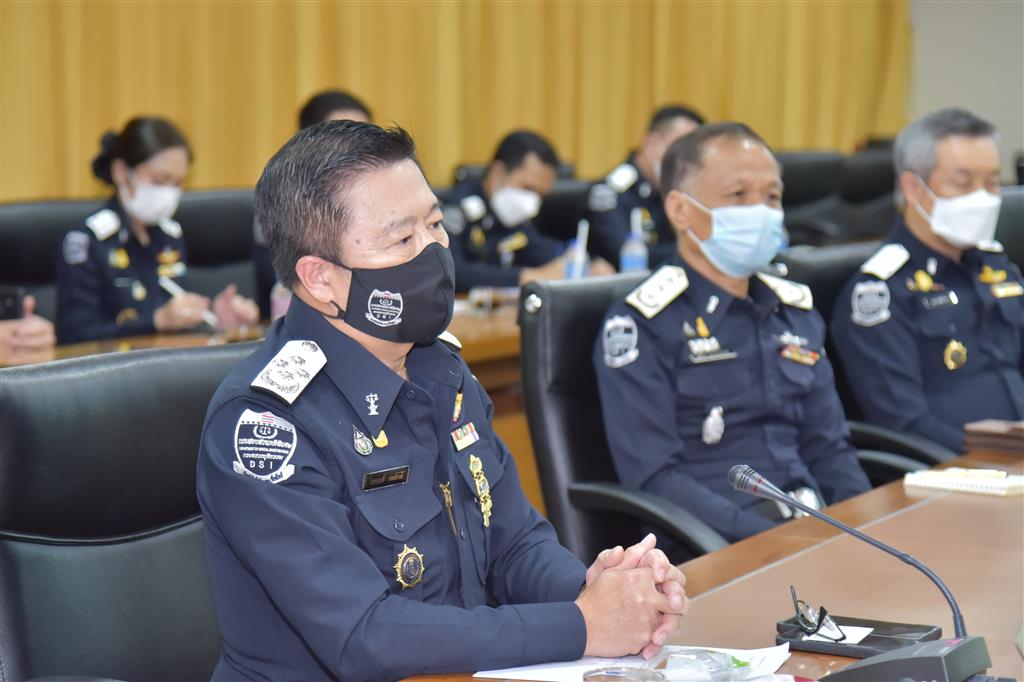
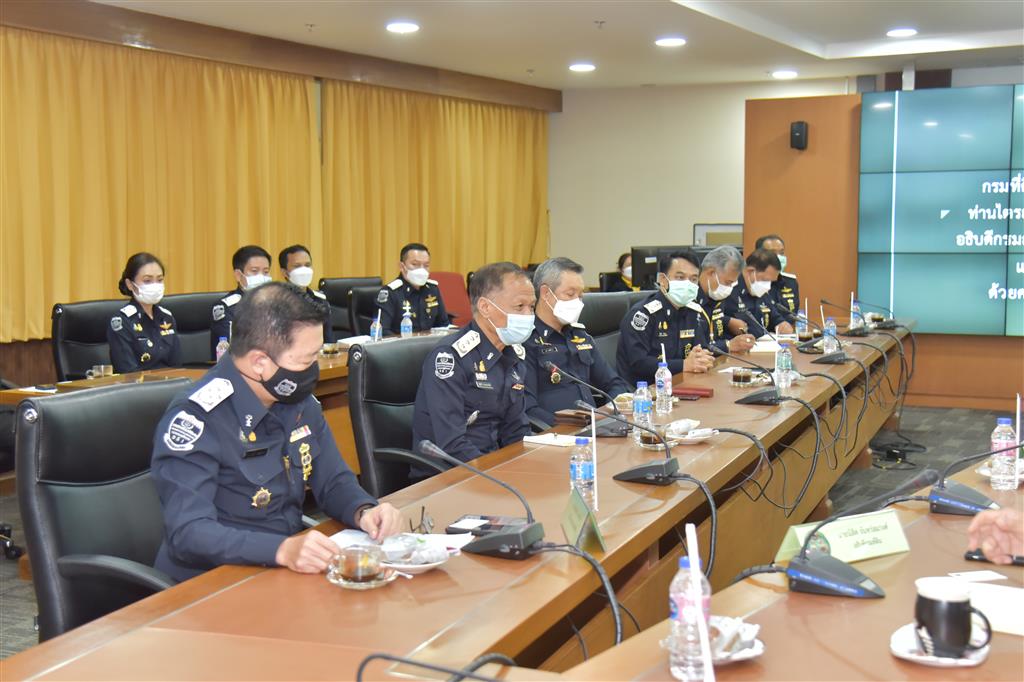
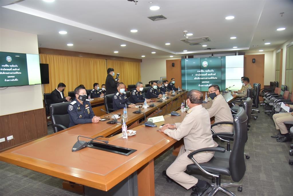
On Monday, October 25, 2021, at 2:00 p.m. Mr.Triyarith Temahivong (the Director-General) accompanied by his Deputy Director-General Pol.Lt.Col.Supat Thamthanarug and executives, namely, Pol.Lt.Col.Amorn Hongsritong (the Director of Natural Resources and Environment Crime Bureau), Pol.Capt.Piya Raksakul (the Director of Special Case Management Bureau), Pol.Lt.Col.Natapol Ditsayatham (the Expert on Consumer Protection and Environment Crime) and Pol.Maj.Worranan Srilum (a special case expert), met with Mr.Nisit Chansomwong (the Director-General of the Department of Land (DOl)) attended by his senior executives, consisting of Mr.Waraphong Kiatniyomrung (Advisor on Survey Engineering), 2 Deputies Director-General Mr.Chaiyos Luangpattrachaweng and Mr.Plean Kaewrit, and Mr.Amnuay Phinsuwan (the Director of Land Document Issuance Standard Bureau), to discuss government matters to increase work efficiency of both agencies, at the DOL, Government Complex Building B.
The DSI and the DOL signed a memorandum of agreement regrading the request for utilization of information ownership and possessory rights of immoveable property between the DSI and the DOL since August 31, 2018. The DSI has been coordinating and working with the DOL. For this meeting, the key issues of collaboration were settled as follows:
1. The DOL is willing and ready to support the DSI in connecting to the land database systems under responsibility of the DOL for convenient browsing. This will increase the efficiency of special case investigation and inquiry.
2. The DOL has expertise in reading and interpreting map photos with the overlay system, therefore, it can support the DSI with photo map work. The DOL is developing the use of artificial intelligence (AI) systems to help read and interpret aerial photographs which can support the DSI in the future.
3. The DOL has surveyors with expertise stationed in the central area who are ready to join forces with the officers of the DSI for special case investigation and inquiry with speed, non-overlap, and efficiency.
DSI Spokesperson Team
October 26, 2021