DSI and Royal Forest Department inspects 5,000 rais of lands in Khuan Chang Khao Thong Lang Forest, Phangnga Province
published: 6/7/2022 4:48:25 PM updated: 8/10/2022 5:38:13 PM 2190 views


DSI and Royal Forest Department inspects 5,000 rais of lands in Khuan Chang Khao Thong Lang Forest, Phangnga Province
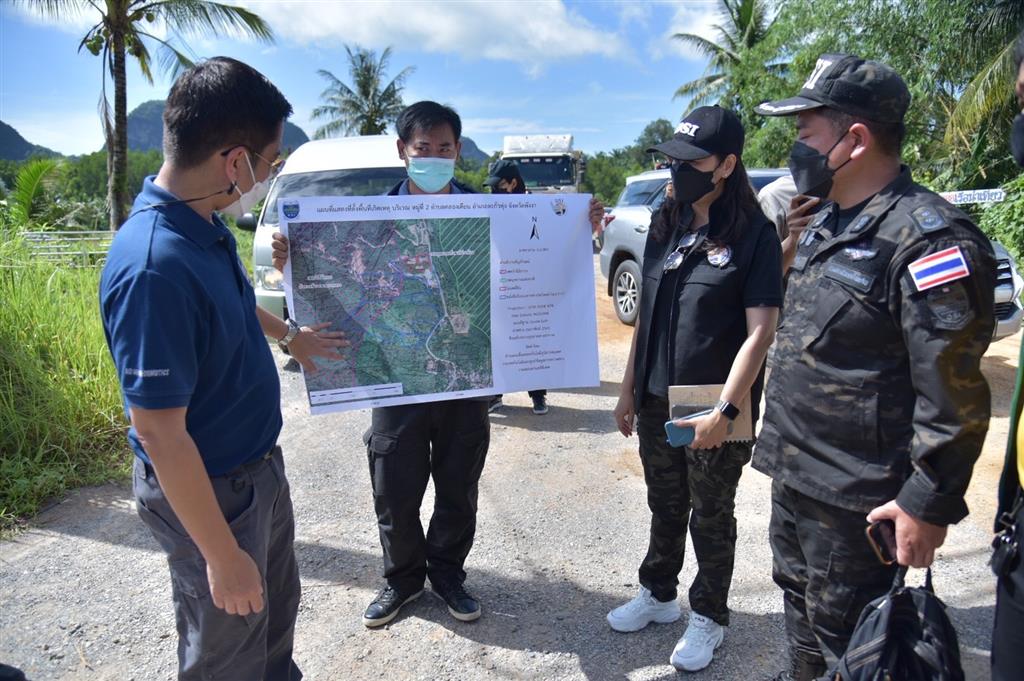
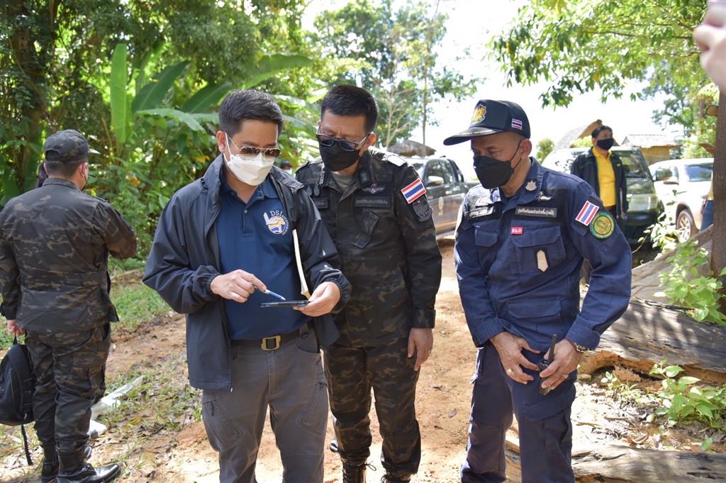
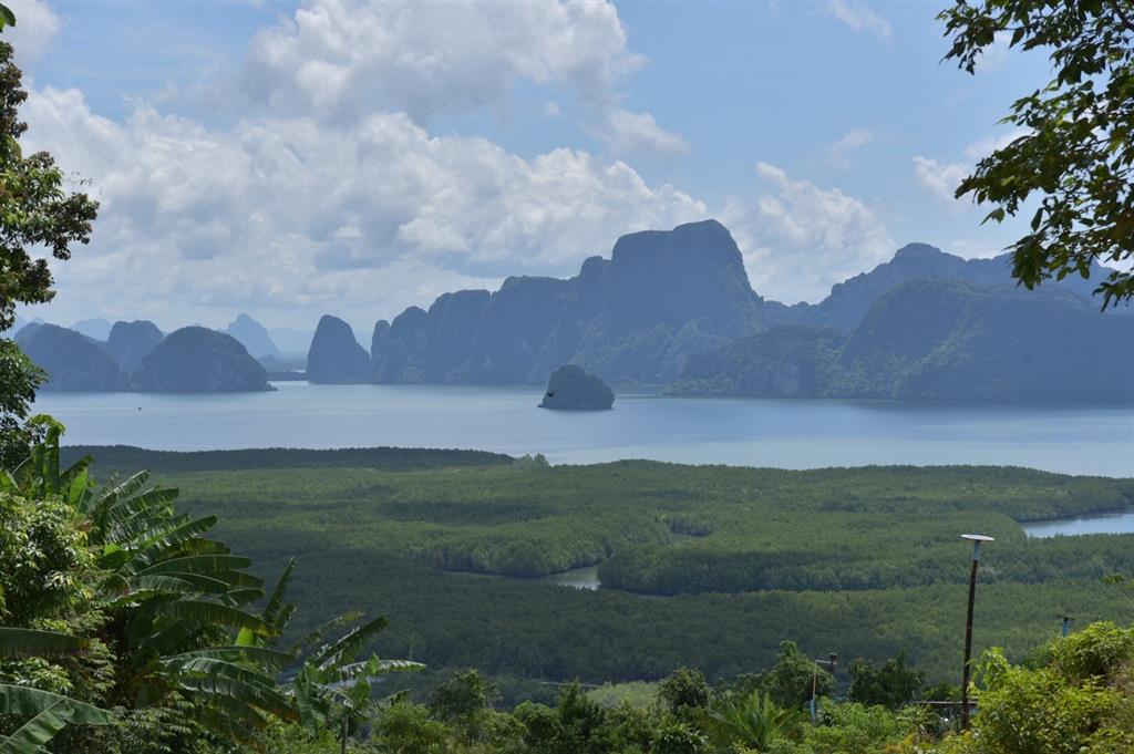
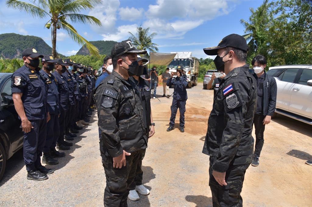
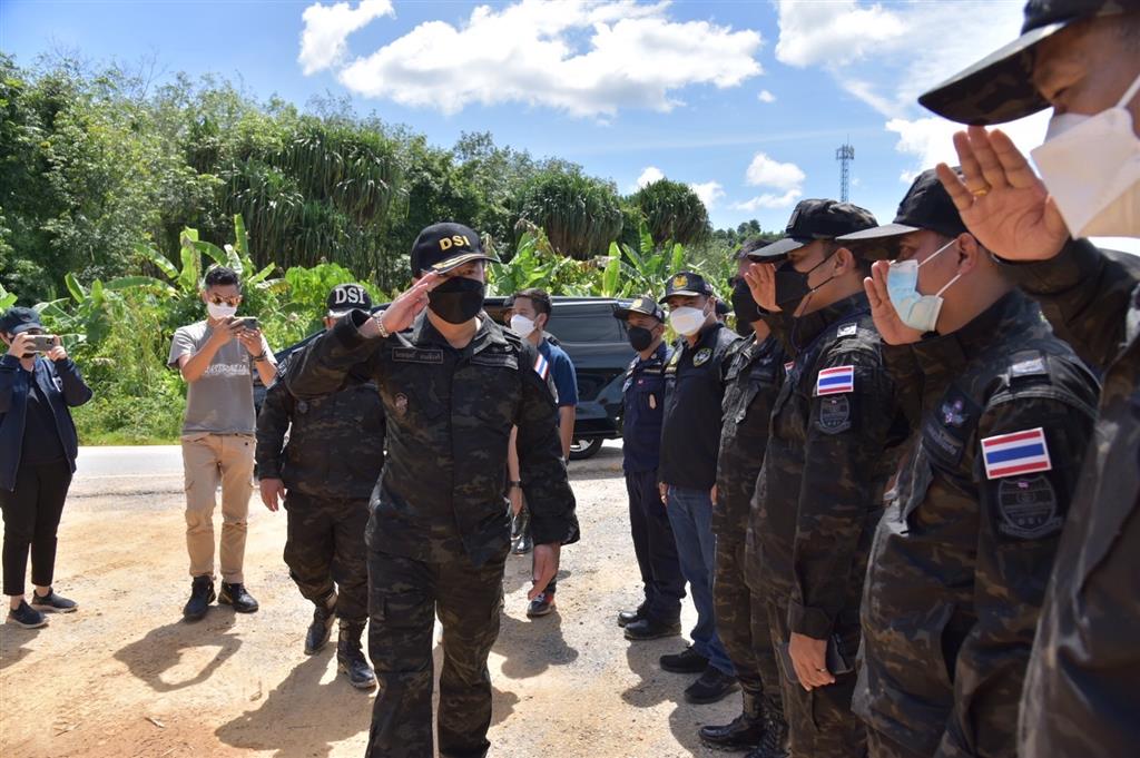
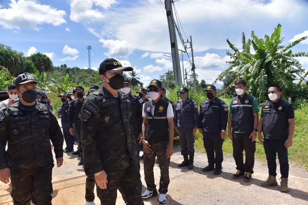
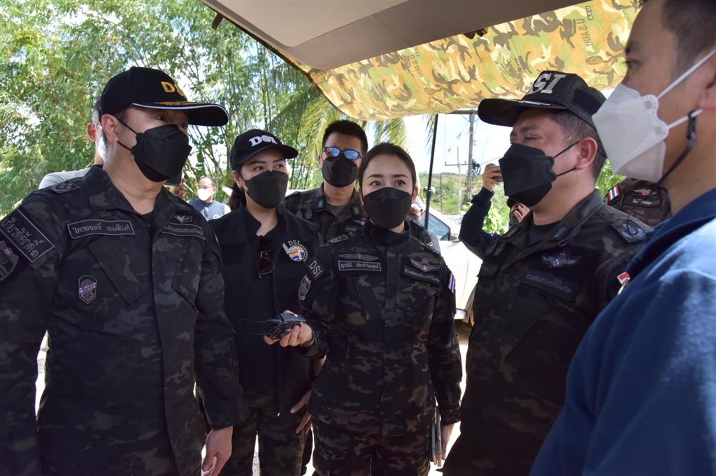
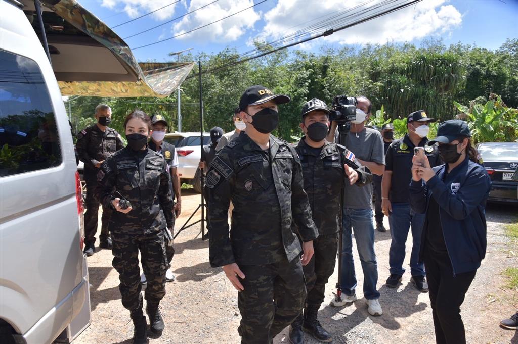
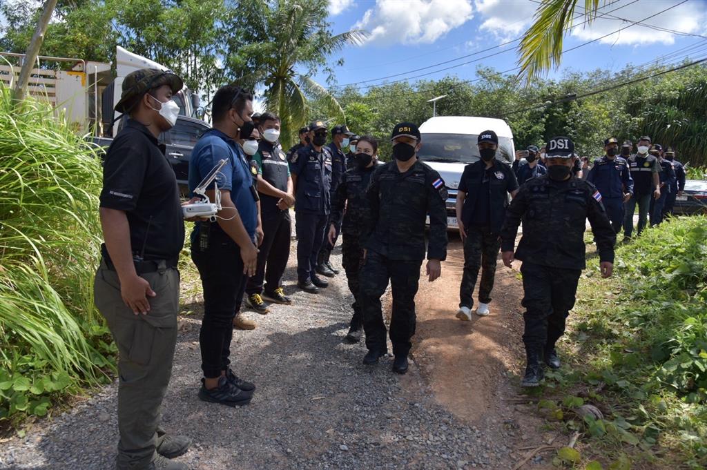
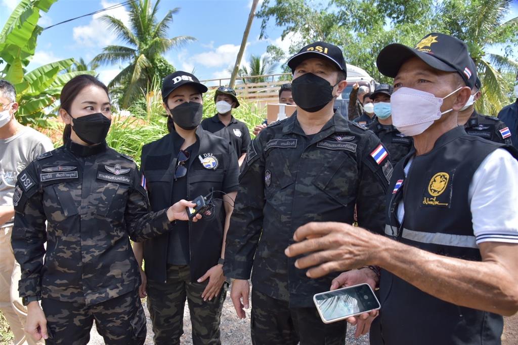
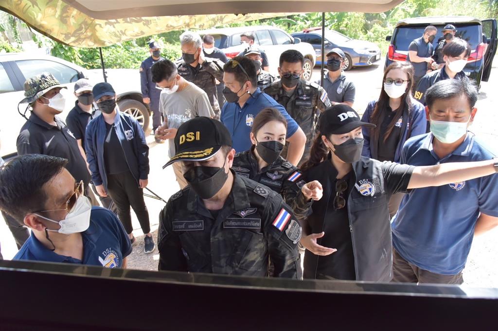
Yesterday (June 6, 2022), Mr. Triyarith Temahivong (the Director-General of the DSI), accompanied by Pol.Capt. Piya Raksakul (the Director of the Bureau of Financial, Banking and Money Laundering Crime), Mr. Suphachai Khamkhum (the Head of the Special Case Operation Center Region 8), Mrs. Yaninee Kiatphibool (the Head of the Public Relation Division and the Deputy Spokesperson of the DSI) and officers of the Maps and Geo-information Technology Operation Center of the Bureau of Technology and Information Inspection Center, and Mr. Narueset Kaewkong (the Director of the 4th Prevention and Suppression Center, Southern Region, Royal Forest Department), Mr. Yongyod Lorsupanporn (the Director of the Forest Protection and Forest Fire Control Division, Krabi Province Branch, Royal Forest Department), Mr. Somporn Tiangtae (the Chief of Surveyor Sector of the Phangnga Provincial Land Office, Takua Thung District Branch, Department of Lands) and Mr. Kordet Chordaeng (the Village Headman of Moo 2, Hin Rom Village) integrated their working to inspect the land in the case of a group of persons jointly encroaching on the permanent forest area of Khuan Chang Khao Thong Lang, located at Moo 2, Khlong Khian District, Takua Thung District, Phangnga Province (investigation case no. 87/2565)
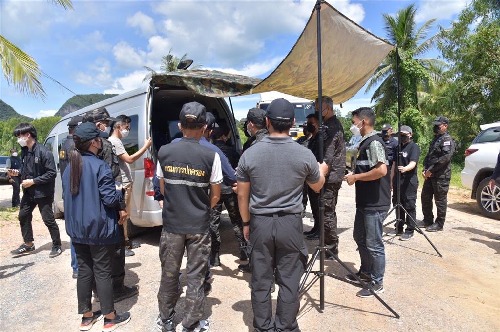
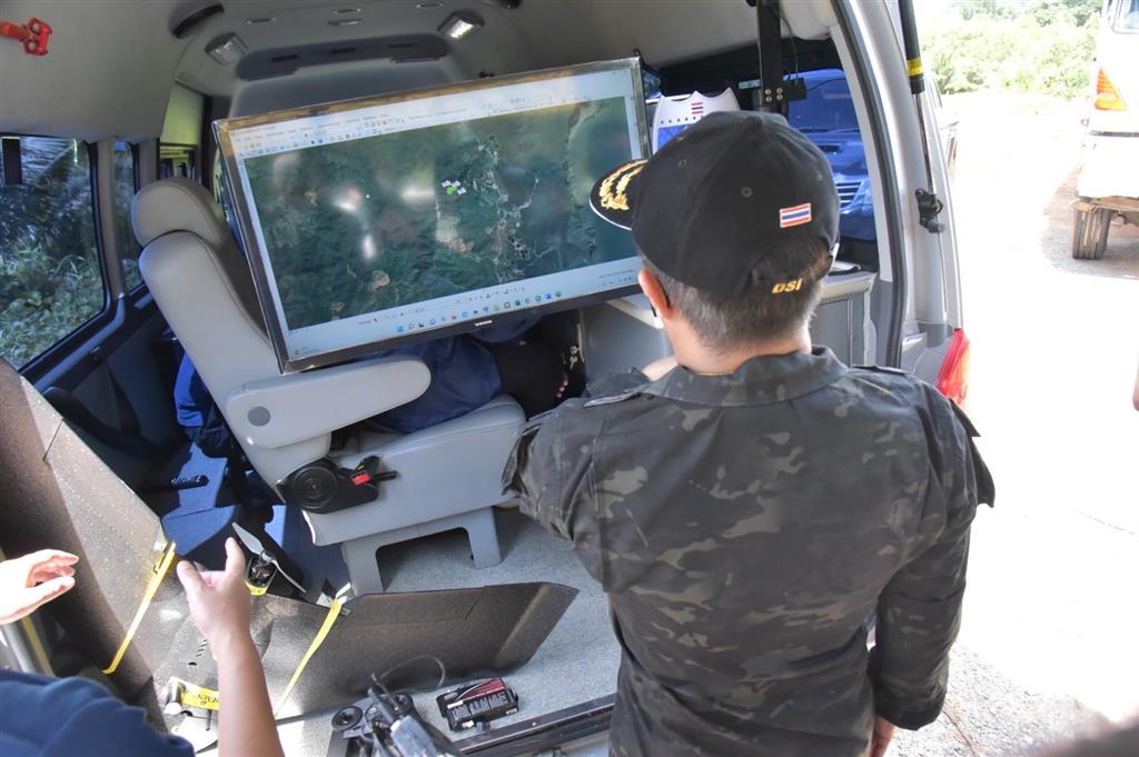
The DSI by the officers of the Maps and Geo-information Technology Operation Center launched their unmanned aerial vehicle (drone) to flying survey the said permanent forest area and around the mountain in the area about 5,000 rais for making map sheets and land title documents. By inspection with the Phangnga Provincial Land Office, it was discovered the issuances of the land title documents (N.S. 3) in 1976-1977. The legality verification of the said issued documents is required. The UAV survey revealed the following information.
1. The said area is a high mountain with some parts sloping over 35% and overlaping with the permanent forest boundary. Such area has been utilized as resorts. Some parts are currently being cut down for turning into tourist attractions. Some parts are rubber plantations and natural forests. The road was built leading into the mountain area. Moreover, a weir was built across the waterway to create a reservoir.
2. The inspection from aerial photos (N.S. 3 K.) of the Department of Lands revealed some areas were issued as title documents encroaching on the permanent forest boundary. The road construction area is entirely in the permanent forest boundary. The N.S. 3 K. title documents of such areas cover approximately 100 rais.
3. The survey by UAV photogrammetric accuracy for mapping enabled the link with the Real Time Kinematic Global Navigation Satellite System (RTK GNSS) network of the Department of Lands, producing maps within the same system of the Department of Lands with high accuracy for clear inspection of encroachment lines on the state’s lands.
Later, the DSI will retrospectively analyze the aerial photographs to inspect the land utilization for determining whether the issuances of title documents were legal.
The Director-General of the DSI stated that the DSI accepted to investigate this matter. The today activities comprised generally inspecting the areas, examining the title documents and inviting the relevant persons to give statements. The area survey by UAVs (drones) was conducted by officers of the Maps and Geo-information Technology Operation Center of the DSI. Moreover, the forestry officers confirmed that the areas were located in the permanent forest boundary, while the Village Headman governing the local areas confirmed that the capitalists bought up the lands, invaded and destroyed the watershed forests. The Head of the Special Case Operation Center Region 8 was ordered to quickly investigate and uncover the truth as much as possible for reclaiming the country’s public property, and urgently report the results.
Dated June 7, 2022